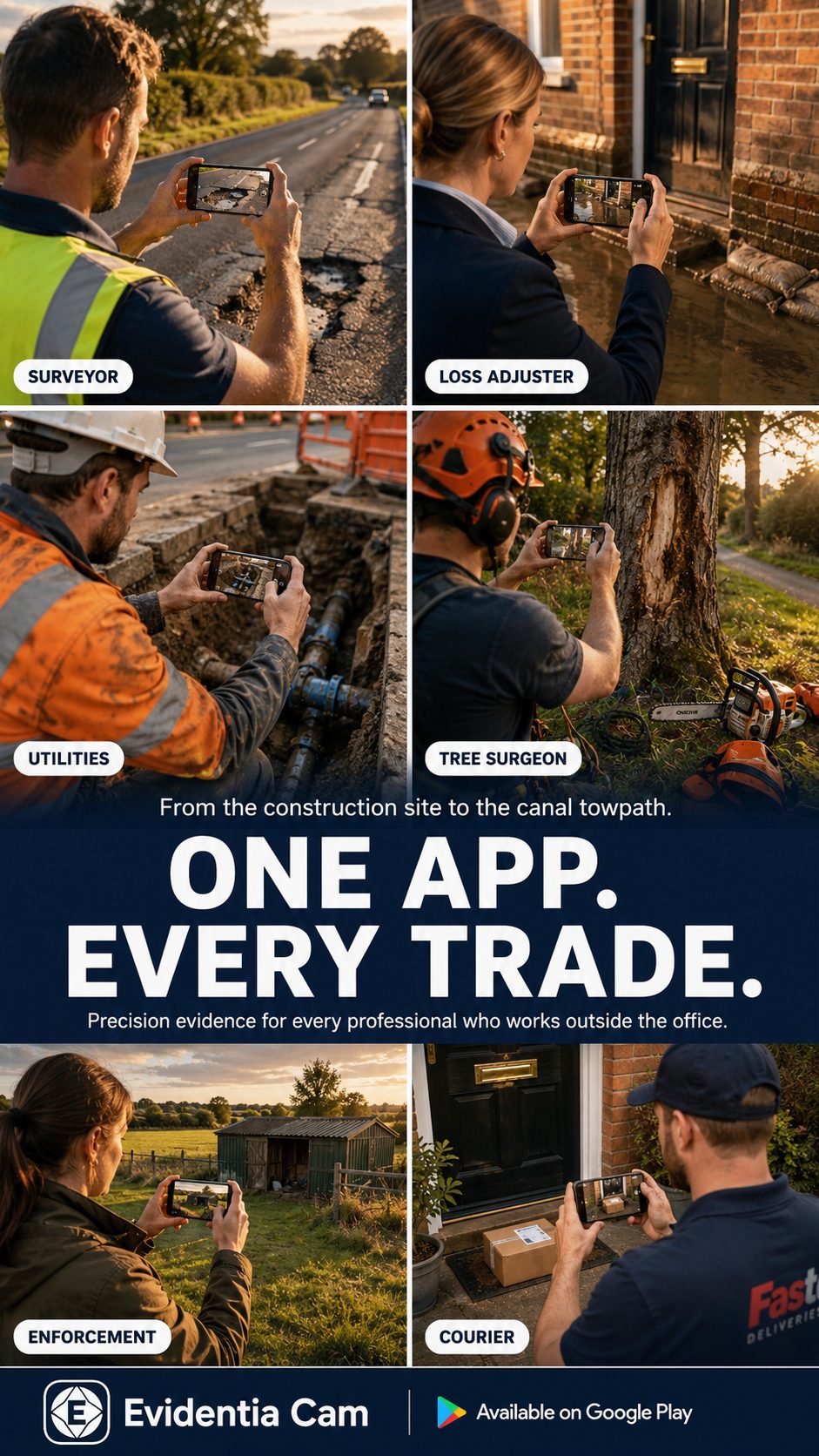
Every shot is stamped at the moment of capture with verified time, GPS coordinates, a National Grid reference, altitude and address — burned into the image. Built for professionals whose photos have to stand up.
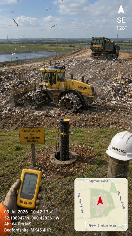
Not a filter app with a clock bolted on. Evidentia Cam treats every photograph as a record — accurate, dated, located, and ready to defend.
Synchronises with internet time servers and flags whether each timestamp is independently verified — so your time is trustworthy, and you know when it isn't.
Latitude and longitude, British National Grid or Irish Grid reference, sea-level altitude and a readable address — every format a professional needs, stamped on the photo.
No signal at the bottom of a field or inside a structure? Coordinates, grid references and address lookup all work with zero connection, across Great Britain and Ireland.
An on-device engine names the nearest landmark — farm, church, industrial estate, pumping station — built on Ordnance Survey and OpenStreetMap data.
An optional minimap shows your exact position and heading, embedded in the image. Record which way a feature faces, to the degree.
Export selected photos to a PDF report with your branding and a SHA-256 integrity page, plus CSV and Google Earth (KMZ) — ready to file or send on.
Captured once, in the field, and impossible to confuse with a screenshot added later.
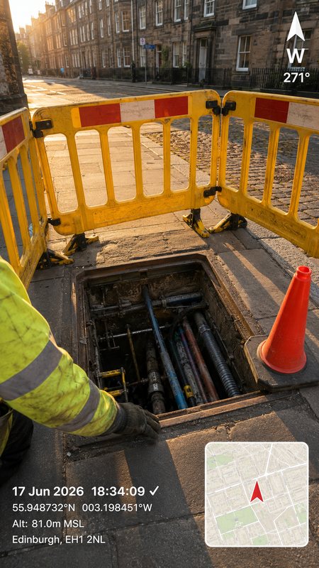
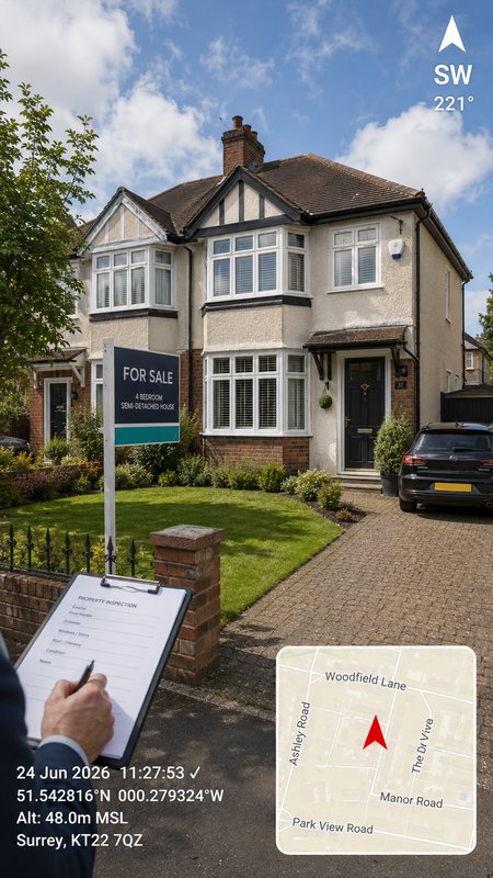
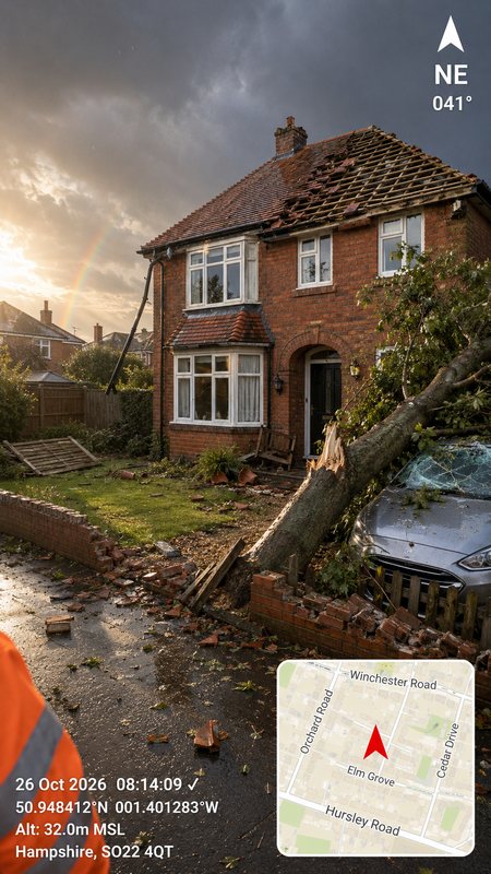
If a photograph you take might one day need to prove itself, Evidentia Cam gives it the context that turns a picture into evidence.
Evidentia Cam stores images on your own device and never uploads them. No tracking, no harvesting, no catch.
Evidentia Cam is available now on Google Play. Capture photos that prove themselves — verified, located and ready to stand up.
Get it on Google Play Evidentia Cam